Orcas Island

IMG_1932

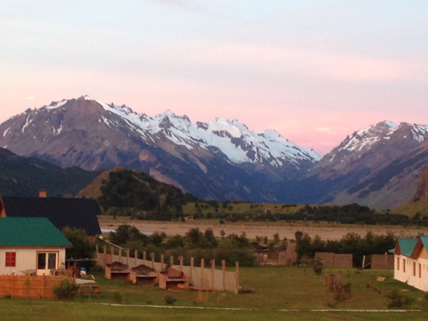
I think when most people on the West Coast think about visiting an island they visualize the warm and sunny beaches of Hawaii. Certainly in the grey and wet weather we have been having in March I have been letting my mind wander to those blue waters. It can be a great escape from the seasonal gloom to visit somewhere so radically different. Sometimes, there can be a rebound effect when we come back home and have to re-embrace the Winter elements and cloudy days.

IMG_1930

I would like to recommend visiting some of the many islands off the coast of the Pacific Northwest in the Winter. It may seem like a rough time to get on a ferry and head out from the coast but it’s a wonderful way to both get away from our local environment without escaping the realities and joys of wild Winter storms. Many of these islands are easily reached from Seattle or Vancouver and Washington State has a amazing ferry system for both cars and passengers. It really is a wonderful way to travel at a pace slow enough to just sit and stare out the window.

IMG_1927

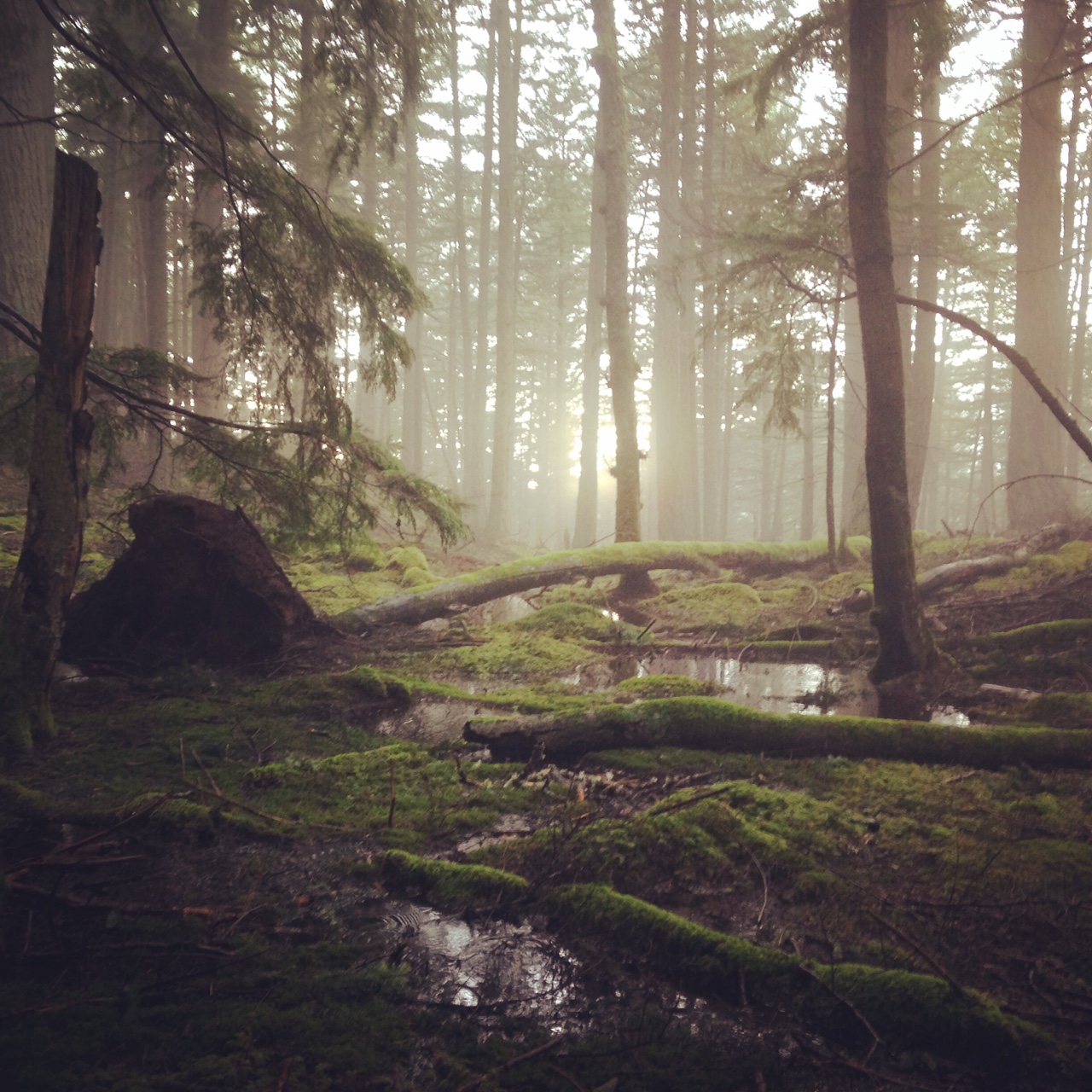
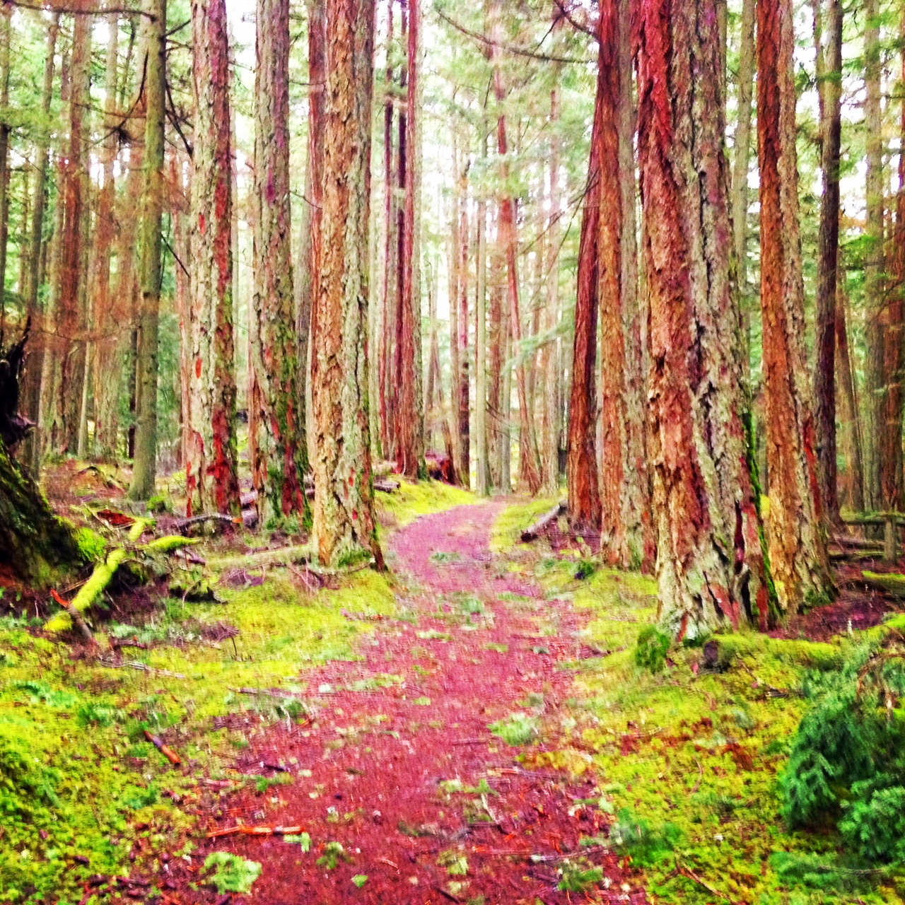
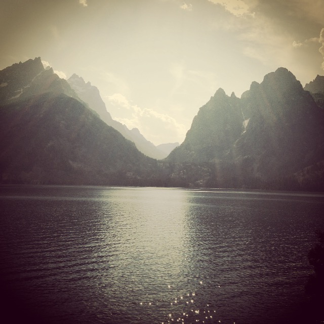
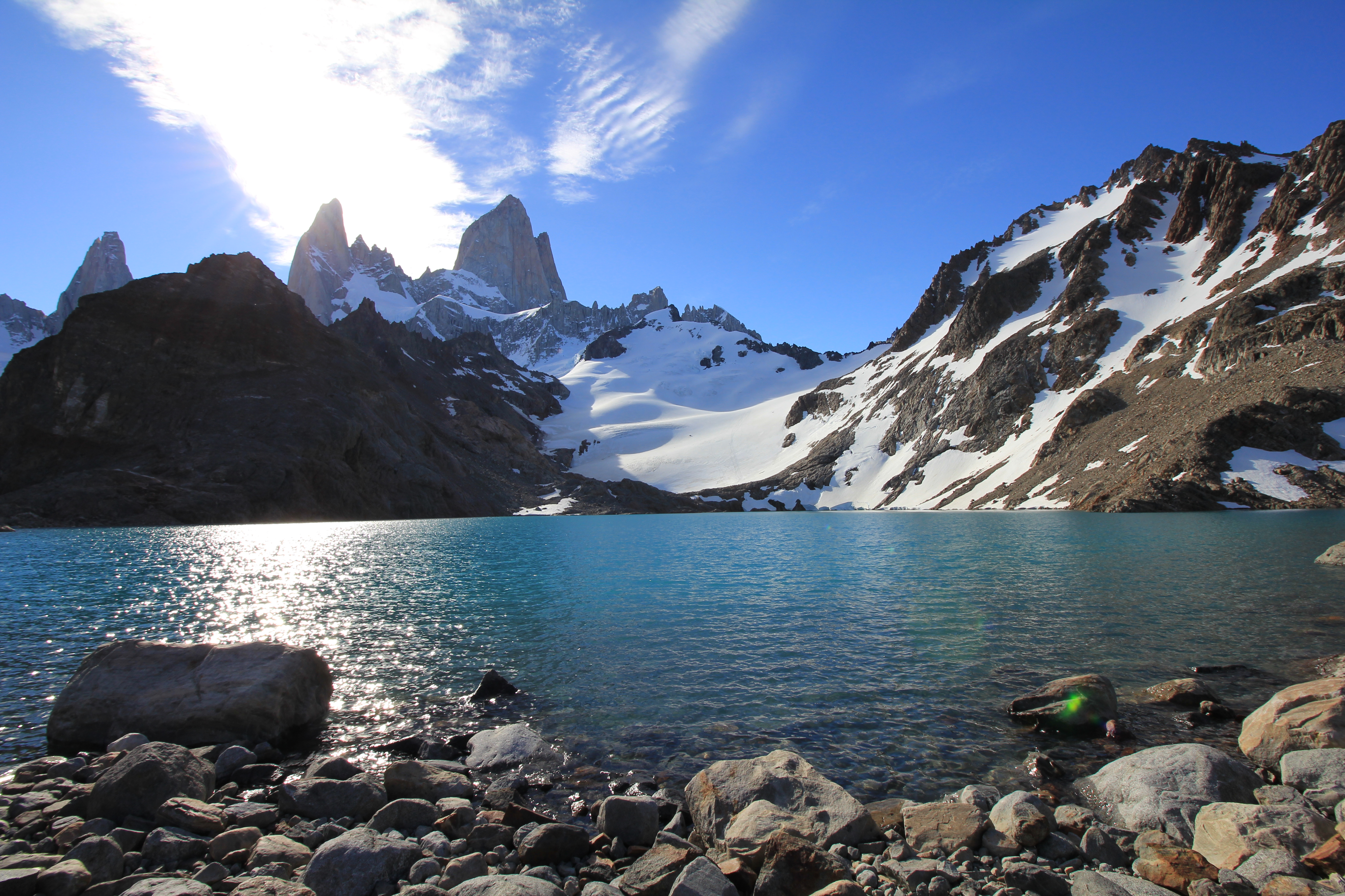
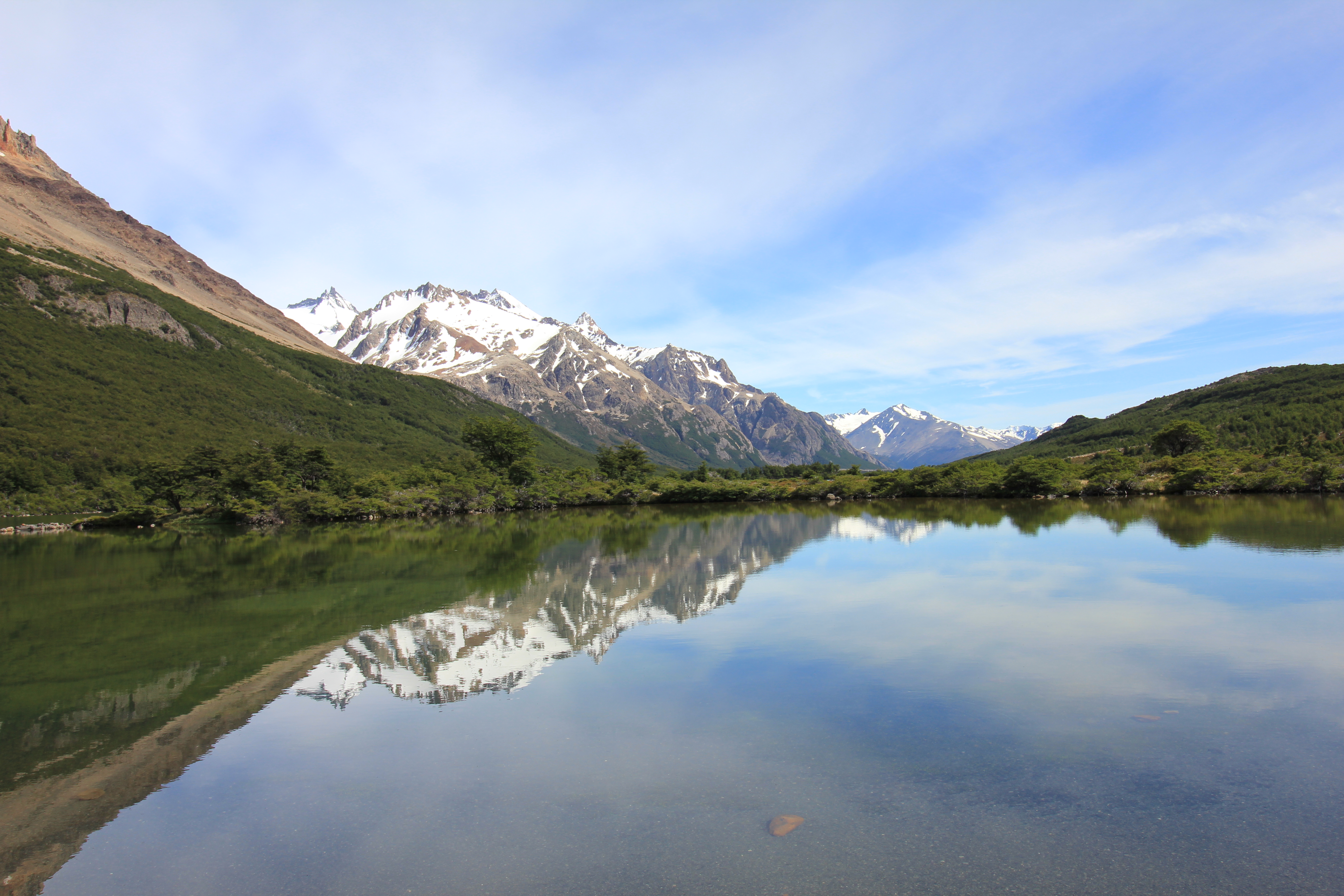
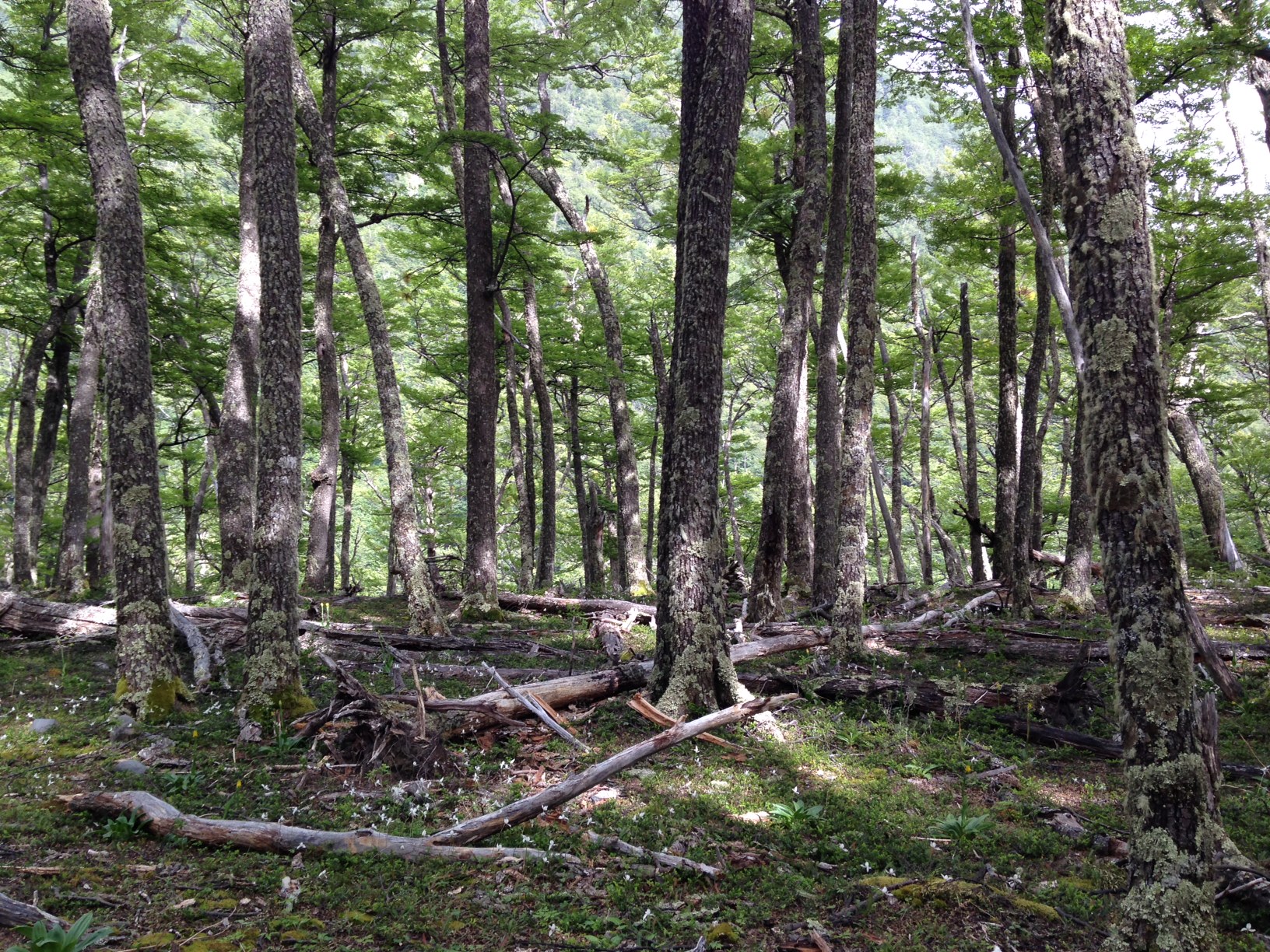
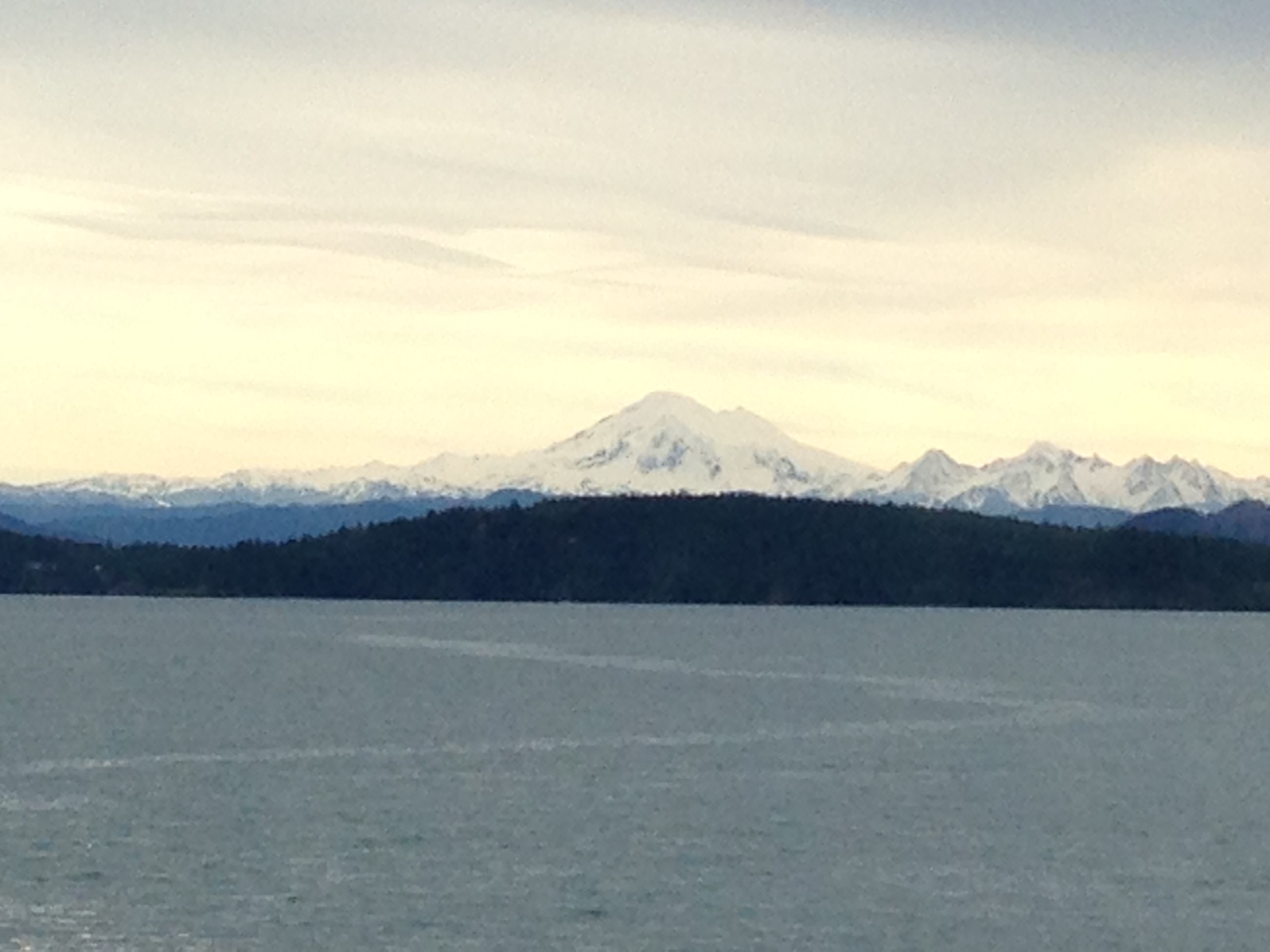
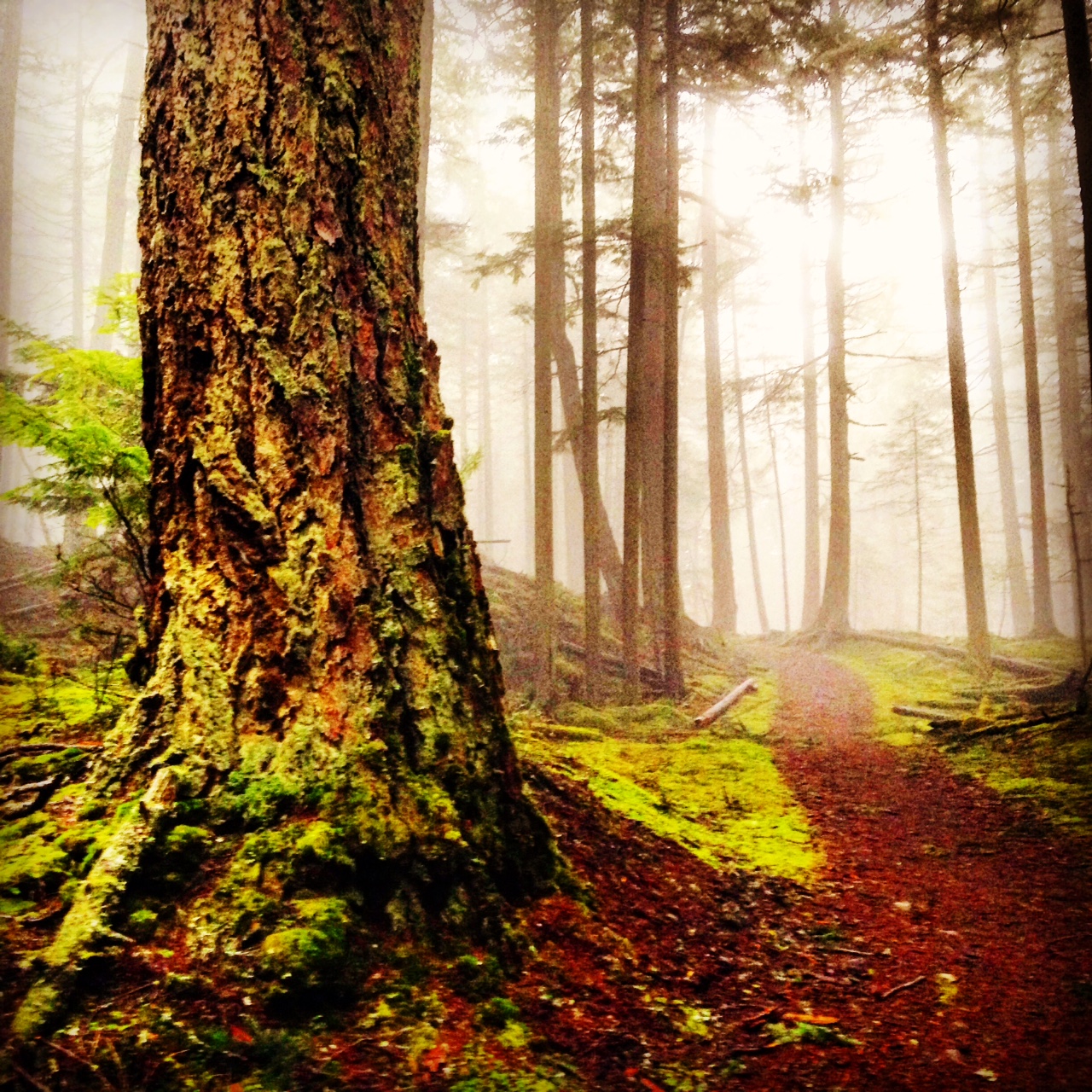
I visited Orcas Island this last month and found it to be a real paradise of old growth forest, waterfalls, and bays dotted with State Parks, like Camp Moran, and small villages, like East Sound. So many well kept trails and interesting lodges and restaurants to visit not to mention hours of just watching what the wild Northwest Ocean can throw at you. I hope you get to check it out and the San Juan Islands in general someday soon.

IMG_1928

Grateful for our National Parks – Zion, Arches, an Canyonlands

IMG_5124

It was only after traveling across the whole of the Southwest of the country could I really begin to appreciate how many different forms of the desert there were. Leaving our country and seeing South America, Asia, and the Middle East allowed me to see that the deserts of the planet may be more varied than any other climate we have. The Four Corners area of the United States has long held a special place for many American and foreign visitors and I am happy to be part of that crowd. From Salt Lake City to Las Vegas or Phoenix it is possible to pass through seven different National Parks. There landscapes so varied from grand arches to hoodoos to the deepest canyons on the Earth. I hope you will have time to visit them all.

IMG_5168

IMG_5207

IMG_5120

IMG_5073

Grateful for our National Parks – Yellowstone and the Grand Tetons

IMG_5435

IMG_5330

Only a quick five hour drive south from Glacier National Park and you can arrive at the gates of West Yellowstone. Yellowstone is an area nearly as large as a small state. In many ways it is much more of a driving and animal safari setting than one for long hikes but in this it is amazingly unique. Even in the height of summer, if one rises with the sun, you can drive the long circle road and catch a glimpse of Buffalo, Grizzly and Black Bear, and Elk. The camping facilities are very good despite the crowds and offer privacy when one wishes to withdraw from the crowds. Each of the individual lodges or ranger stations around the loop road are unique and offer a historically preserved set of buildings and natural habitats.

IMG_1141

IMG_5365

IMG_5380

IMG_5359

In the Grand Tetons the Snake River winds its way through some of the most dramatic mountains in the country. The Tetons rise suddenly from the plans and seem to cut at the sky. So incredibly different from the gradual build of our Sierra Nevada.

IMG_1091

IMG_5301

IMG_5277

Grateful for our National Parks – Glacier National Park

IMG_1217

As I spend more time looking back on the past year and all the wonderful experiences which I am grateful to have had I chose a few to share with you. I give all of myself to my work and I give all of myself to the breaks I take from it. Whenever possible I take those breaks in our nation’s National Parks. This year I was able to visit part of the grand circle from Southern Utah to the Canadian border. I thought I would share some of my favorite memories in the hope that many plans will be hatched on your part for road trips and camping trips in the coming year.

Glacier National Park is our first stop!

Grinell Lake

IMG_1218

Earthquake Lake

IMG_1204

A massive park which spans from Montana into Canada and includes a great man lakes surrounded by the dramatic elevation changes of the Rocky Mountains.

Views of the Highline Trail

IMG_1189

Bowman Lake

IMG_1201

In Glacier National Park the high elevation grants the opportunity to see mountain goats and sheep on the trails and parking lots. I especially the picture of the male Ram looking with distain at the park Chevy pickup truck!

IMG_5547

IMG_5564

Clinic closed from July 2nd-19th

7458_8228_Mt_McGown_Idaho_Sawtooth_Range_md

I will be heading out to spend time backpacking in Montana, Wyoming and Idaho for a few weeks. Please use the online scheduler to book your appointments now for the week I return. Happy 4th of July!

Moving Video

I often recommend patients make a real effort to get up and move more during their day. We spend so much of our lives now sitting at work, in the car or at home. It seems natural to us at this point in our development as a modern society that this should be the natural way to both work and rest. With all these comfortable chairs and couches around why expend the effort to stand. Ask anybody who has gotten their HR department to pay for a standing desk and you will hear why. Our bodies were not made to be sedentary. They were designed to walk and move and even crouch at times when we needed to work with our hands. It was not designed to sit for hours on end at the computer or steering wheel on even fully reclined at home in front of the TV. It is nearly impossible to keep a good posture during any of these activities and so taking a break and moving can be a beneficial way to improve our circulation, posture, and joint health. I saw this great short film on the TED Videos site and I think it does a great job of articulating why we need to get up and move, not just a little bit from time to time, but as much as possible during our day.

The Lost Coast Trail

Lostcoastsurfer

This past memorial day I set out to hike the Lost Coast Trail In Humbolt County. My original plan of a high sierra loop in Yosemite was snowed out so I thought this would be a good alternative for a remote experience. It had the added benefit of being extremely hard to get too! This would allow for some new driving experiences along the remote sections of Highway 1 and the chance to explore all the facets of car sickness. The adventurous driving starts when you turn west at Garberville and enter the King’s Range of mountains. I was so impressed by their size and length. It had much of the feel of being in the Sierra Nevadas but with gorgeous views of the Pacific Ocean extending out beyond the Pine forest.

Lostcoastforest

It takes over an hour to drive the twenty something miles to Shelter Cove where the trail head for the Lost Coast starts from a long black sand beach. We could leave our car here and take a shuttle service to the other end of the trail at Mattole Beach and be able to hike back south to our car over about 28 miles of beach, bluff, and tide pools. Even though the distance was relatively short I found the hiking to be challenging on the sand. It felt like half of all the energy used was lost with each step. With several sections of the trail impassable at high tide it took a bit of planning to cross when the tide was out and not dawdle in the tide pools where one could get stuck.

Lostcoastflower

It was a bit crowded due to the holiday weekend and growing popularity of the trail but all the groups seemed to spread out and respect each others desire for the sense of wilderness. There was plenty of fresh water from creeks along the trail purify and many places to set camp on the beach where you could have stunning views and a chorus of Sea Lions singing you to sleep each night. It was a wonderful adventure and I would recommend everyone to take some time and go north into the wilder parts of our great state. You don’t have to do a multi-day hike either, just go, explore, feel the wind and the fog and rediscover that the Bay Area is hardly Northern California at all.

TentLC

Patagonian Adventures -Chalten and Los Glaciers National Park

IMG_0641

I arrived in Chalten, Argentina, after a short three hour flight from Buenos Aires to Calafate. followed by a two hour bus ride to the mountains. Maybe I shouldn’t say ‘short’ since there was also the three hours waiting for the bus transfer but that was nothing after our flight to Las Vegas, overnight in the hotel, seven hour flight to Panama City, EIGHT hour layover in the airport before flying another seven hours to Buenos Aires! Well, might at well count the hour plus taxi ride from the airport to the hotel either…so give or take three days from home to hostel.

photo (43)
Chalten is a small collection of hostels and houses surrounded by large mountains which rise steeply from the grassy valley floor. A large river of glacial water flows through the valley and gives the town the feel a wild wet boomtown. Chalten was created in the 80’s by the Argentinian government in the land rush to develop the mountain trekking and climbing industry for future tourism and its mix of hotel styles from Swiss chalet to American west lodge shows the varying origin of its early investors.The town only has about 5,000 permanent residents but is swarming with summer workers guiding treks, backpackers from every part of the world and the much more hardcore crowd of climbers there to attempt summiting the massive Mt. Fitz Roy and Cerro Torres massifs. I was surprised to learn that the border with Chile in this area was only established in the last few decades and in some cases is still fluid along the great Patagonian Ice Field and southern fjords.

photo (44)

The two main hikes from the town to the towers of Fitz-Roy and Cerro Torres can both be done in long day trips but we chose to do a three day circuit with two nights camping near the lagunes at the bases of both towers. There was a surprising amount of forested area filled with white birch trees called “Lenga” in spanish which are nearly the only tree that can grow in the climate. The height of the forest was 25-30 feet at most but do to the extreme weather conditions of Patagonia they can take hundreds of years to reach this height. The wind blows constantly there and ranges from mild 20 mile an hours breezes to 60-80 mile an hours for prolonged periods. Some days the wind was so strong that it was challenging to walk and we had one friend who had to spend one whole day laying down on the ground due to the wind speed. The fact that the forest floor was littered with large branches and snapped tree trunks was not lost on us as we hustled along the trail. Nights in the tents under those trees was slightly apprehensive as you heard the wind start high up in the mountains before coming down half a minute later and roaring through the campsite before violently shaking the tent.

IMG_0671

Both nights we were able to see the summits of the main massive, during the day as well as the twilight hours, which are not until 11pm this time of year. Sunrise coming at 4am each day. At the base of Fitz-Roy we were lucky enough to see the twinkling lights of climbers headlamps on the face of the mountain as climbers continued into the night or set up tents on small ledges to sleep halfway. Our guide told us that it can take 2-3 days to reach the mountain. Each person carrying their own food, clothing and gear which can reachup to 140 pounds. I got a very small taste of the difficulty when we had to cross over a glacial river by suspended rope without the assistance of a pulley. I cannot imagine doing the full trek across the glacier with that weight.

photo (45)

Chalten was a first start for our trip and it fulfilled our expectations to the fullest. The hikes were mild with warms days despite the wind and we were well prepared for the nights with our first bottles of Argentinian Malbec wine. After our warm up of three days we were excited to move on to the big 7 day trek in Chile that awaited us next.

IMG_0668

Patagonian Adventures – Torres Del Paine

IMG_0674 (1)

When we arrived in Puerto Natales, in Chile, we were very happy to find continued good weather and a open laundrymat waiting for us. The bus ride from Argentina had been a long ride with a tremendous wait at customs. I think “3 hour bus ride” in Argentinian translates to “8 hour ride” in English. We were eager to go out and check out our new town and were starving after the extended ride. Our streak of stumbling into great restaurants continued and we filled up on one last meal of vegetables before heading out into the world of camp food again. Luckily with it being Summer down there the produce was exceptionally good and nearly identical in selection to what is available in California in the opposite months. So yay Avocado!

IMG_0652 (1)

photo (64)

The next morning we started out early with our new group of trekking friends. One Frenchman, two women from London, and one women from Singapore plus a transplanted Columbian guide. It was a veritable World Cup of a nations! Our first day took us by bus into the Torres Del Paine National Park, passing many Guanacos, (Lama cousins), Andean Condors, and millions of imported wild Hares (being eaten by the Condors). We set up our camp and climbed the first valley to see the towers of Torres del Paine and the lagoon beneath.

IMG_0668

In the following days we passed on through the Enchanted Valley, which lived up to its name, covered in a sea of daisies, and full of aquamarine lakes and free roaming horses belonging to Gaucho horseman living nearby.
photo (65)

photo (66)

Our camp at Glacier Dickenson had a brilliant blue river running out of the ice which made for a perfect swim to freshen up after the hike and to escape the mosquitos for a bit.

photo (63)

We continued on through days three and four through 300 year old forests of birch, battling mountain passes and roaring winds, and on to the base of the John Gardner Pass, our most challenging day. There we would walk to through a steady rain, snow fields and broken talus fields before reaching the 4,500 foot summit. Though the wind and cold were too severe to linger at the top the descent showed us the full view of miles and miles of the South Patagonian Ice Field which is the third largest reserve of freshwater in the world after the ice reserves of Antarctica and Greenland.

photo (60)

photo (50)

We crossed large ravines by ladder, a terrifying experience in the high winds with a sixty pound pack on, and over suspension bridges before reaching our final camp at the end of a long day. It was December 24th and all of the camp, some few hundred people, gathered at the Paine Grande campground for a dinner and party which went into the night as if it was New Years Eve.

photo (62)

photo (57)

Our last day we climbed the final part of the trail at the French Valley before sailing back to our start on a Catamaran across Lake Pehoe with all the Paine massif before us. It was a grueling 7 day trek but one that formed new and hopefully lasting friendships across the world.

photo (55)

photo (54)

Patagonian Adventures – Tierra Del Fuego

IMG_0689

For the last four days of my trip I sailed by boat from the Chilean port of Punta Arenas through to Ushuaia. Along the way we stopped at a colony of Magellanic Penguins and Cormorants. While we were not able to exit our Zodiac boats but when we approached the shore the small birds in tuxedos cautiously approached us for a closer look. They cannot see very well out of the water and came right up to the edge of the water and swam in passed us.

photo (48)

We hiked on the Island of Tierra Del Fuego, the largest in South America, and came close to a whole variety of glaciers both hanging from mountains and entering the sea. Our ship docked in the bay of Cape Horn and we landed on the point at the southernmost tip of the continent. Antarctica was so close and yet out of reach! Next time, next trip, all the way to the pole!

photo (58)